Climbing Mt. Akadake
Update:2025/04/11
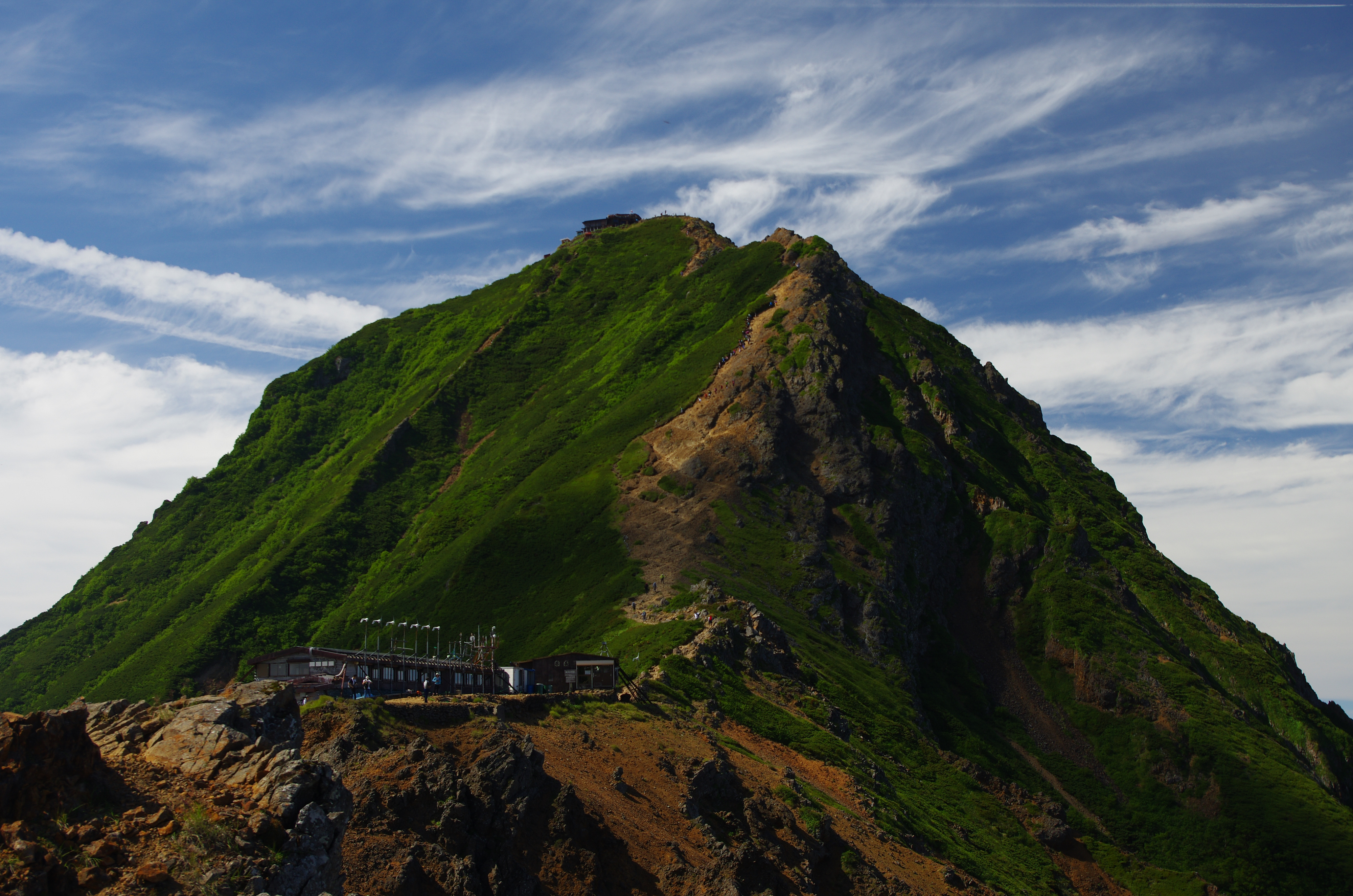
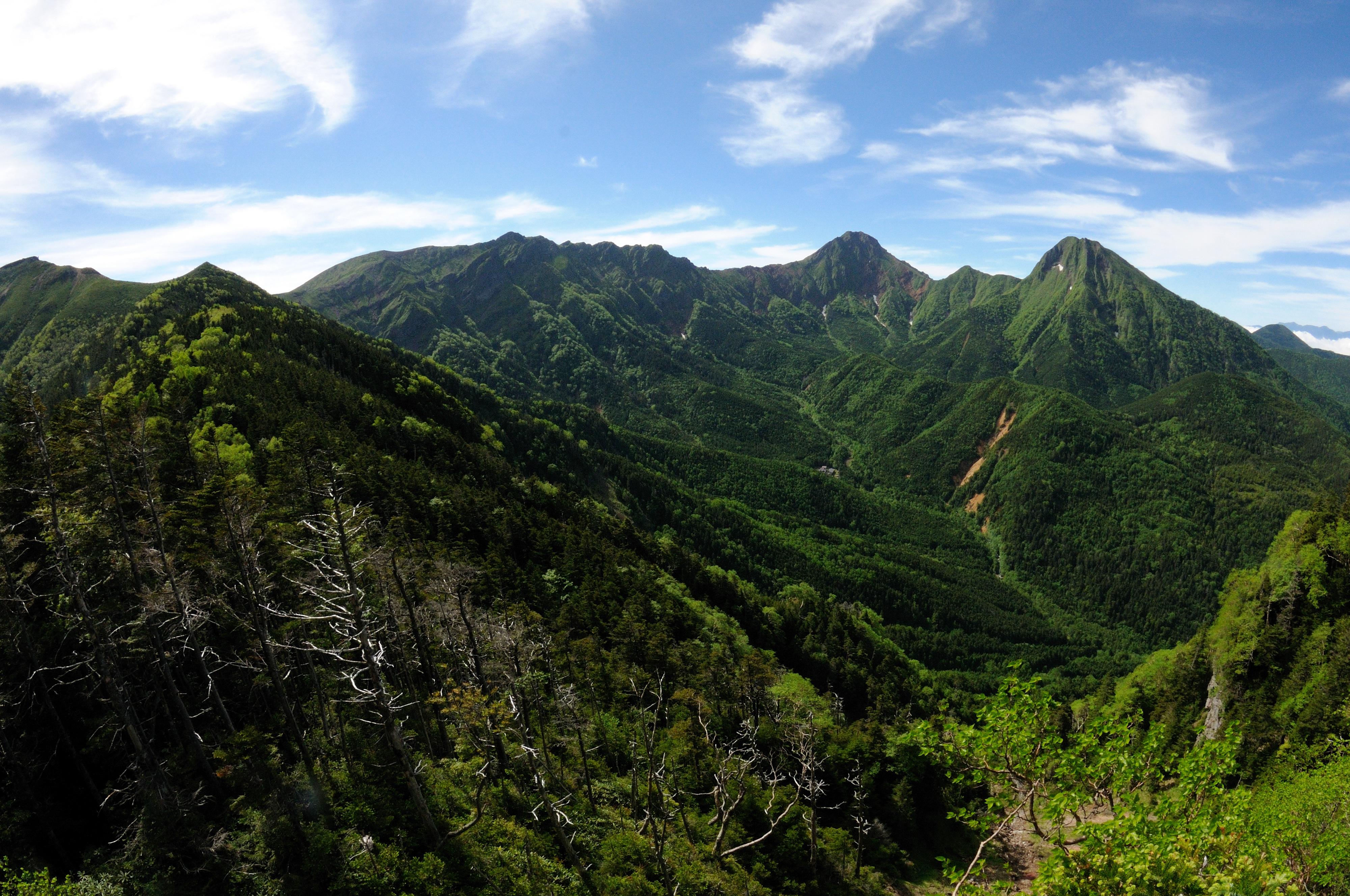
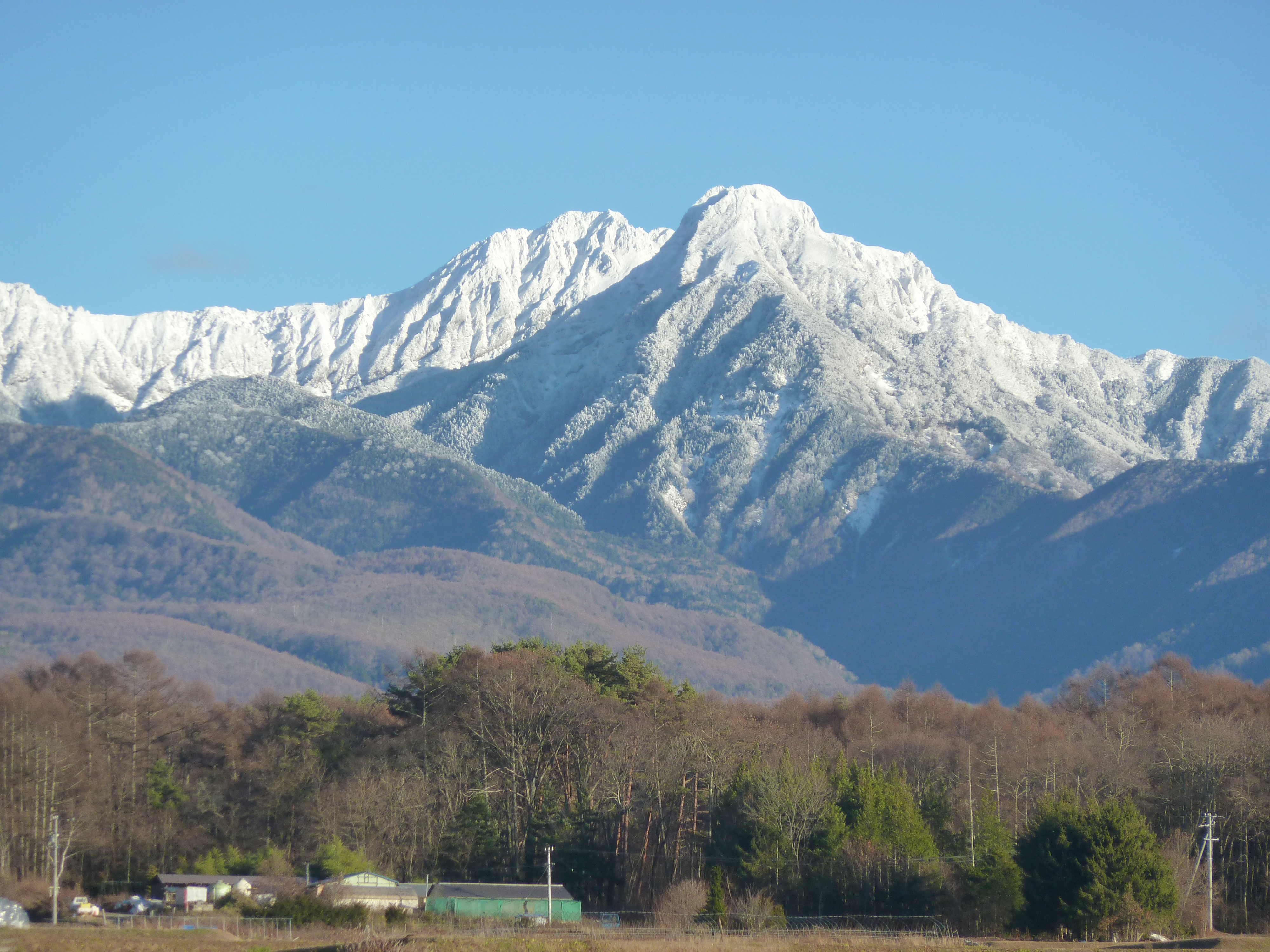
According to an old legend, the Yatsugatake mountain range was once a single peak that rivaled even Mt. Fuji, and once the two mountains held a contest to see which was taller. Yatsugatake triumphed, but in a jealous rage Mt. Fuji smashed it into pieces and created the eight peaks that remain today. Mt. Akadake is the tallest peak at 2,899m, and is one of Japan's Hyakumeizan.
From the Minoto Trailhead (1,690m) the hike to Mt. Akadake takes 7.3 hours round-trip. Because there are only a few buses daily, none of which leave very early in the morning, it is recommended to spend the night at one of the mountain huts if using public transportation. There is Yatsugatake Sanso near the bus top, Minodo Sanso 40 min. up the road, Akadake Tenboso, and Akadake Sancho Sanso at the top of the mountain.
| Location | Chino City Map |
|---|---|
| TEL | 0266-73-8550 |
| FAX | 0262-73-8322 |
| renmei@tateshinakougen.gr.jp | |
| Usage fee | Roundtrip bus fare: 1,550 yen |
| Trail Details | Total Distance: 10.6km Total Time: 7.3 hours Recommended No. of Days: 2 days, 1 night Elevation Difference: 1,230m Starting/Ending Point: Minotoguchi Trailhead Mid Point: Mt. Akadake Lodging: Yatsugatake Sanso, Minoto Sanso, Akadake Tenboso, Akadake Sancho Sanso |
Access and Parking
| Access |
By Train:Get off at Chino Station (JR Chuo Line) -> Take the Minotoguchi Line bus to the Minoto trailhead. |
|---|


