Utsukushigahara Highlands
Update:2025/04/11
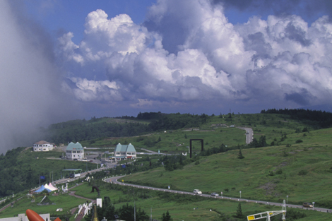
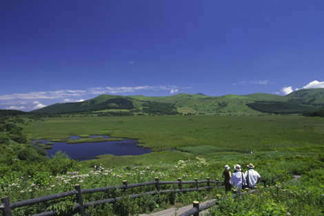
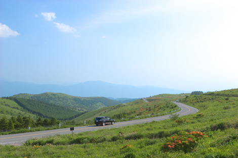
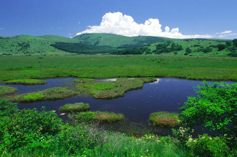
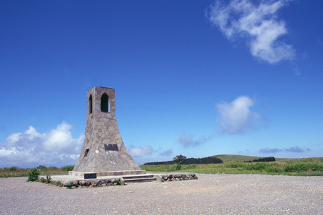
Utsukushigahara is a 2000-meter tall plateau located roughly between Matsumoto and Ueda. The name means “Beautiful Field” and true to that name, the 360-degree panorama view of Mt. Asama to the east, the Japanese Alps to the north and west, and Mt. Fuji to the south is truly spectacular. Closer in, on the 133,000 square meter ridge itself, are over 200 varieties of alpine wildflowers with the fields of wild azaleas and gypsy roses an especially beautiful sight to see. Utsugushi-ga-hara’s symbol is the graceful Utsugushi-no-to stone tower, reachable only on foot. And if you walk there, you will likely run into one of the area’s other symbols, one of the many cows grazing in the highland pasture. Another major attraction not to be missed is the Outdoor Art Museum which features 400 classical and modern sculptures all in this breathtakingly beautiful setting in the sky. Utsukushigahara is also the northern starting point for the Venus Line ridge ride for automobiles.
You can enjoy alpine flowers from July to August, autumn colored leaves from September to November, and glistening frosty scenery from December to March.
| Location | Takeishi Kamimotoiri, Ueda City / Utsukushigahara Kogen, Nagawa Town / Utsukushigahara Kogen, Matsumoto City Map |
|---|---|
| TEL | 0263-34-8307 |
| FAX | 0263-34-3049 |
| kankou@city.matsumoto.nagano.jp | |
| Seasonal Info | Azalea: late-June - |
Access and Parking
| Access |
By Train:70 min bus ride from Matsumoto Station (JR Chuo Line) |
|---|


