Kamikochi
Update:2025/04/11
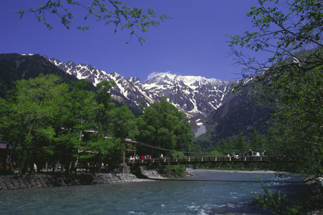
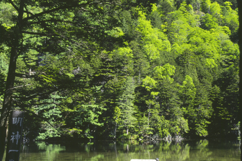
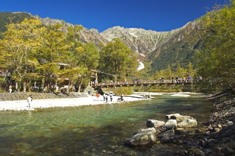
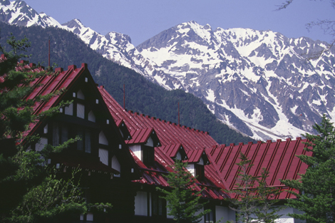
Kamikochi is the crown jewel of the Japanese Alps. The scenic area is a basin at 1500 meters elevation. The Alps rise an additional 1500 meters from there, creating a stunningly magnificent background with the beautiful aquamarine Azusa River in the foreground. This is a very popular place for mountain trekking, and the traditional starting point is Kamikochi’s symbolic bridge, Kappa-bashi. Downriver is Taisho Pond whose waters provide picture-perfect reflections of the Hotaka Range. Upriver is mystical Myojin Pond. Many tourists just come for the day, but one of the best ways to enjoy Kamikochi is to spend the night and take an uncrowded evening or early morning stroll.
| Location | Kamikochi, Matsumoto City Map |
|---|---|
| TEL | 0263-95-2606 |
| FAX | 0263-95-2611 |
| kamikochi-vc@mb.neweb.ne.jp | |
| URL | http://www.kamikochi.org/ |
| Date(s) | late April to late November (Official Opening Ceremony: April 27th) |
| Seasonal Info | Autumn colored leaves: early-October - mid-October |
Access and Parking
| Access |
By Train:65 min Kamikochi bus from Shin Shima Shima Station (Matsumoto Dentetsu Kamikochi Line) |
|---|


