Hiking the Shinetsu Trail
Update:2019/09/30
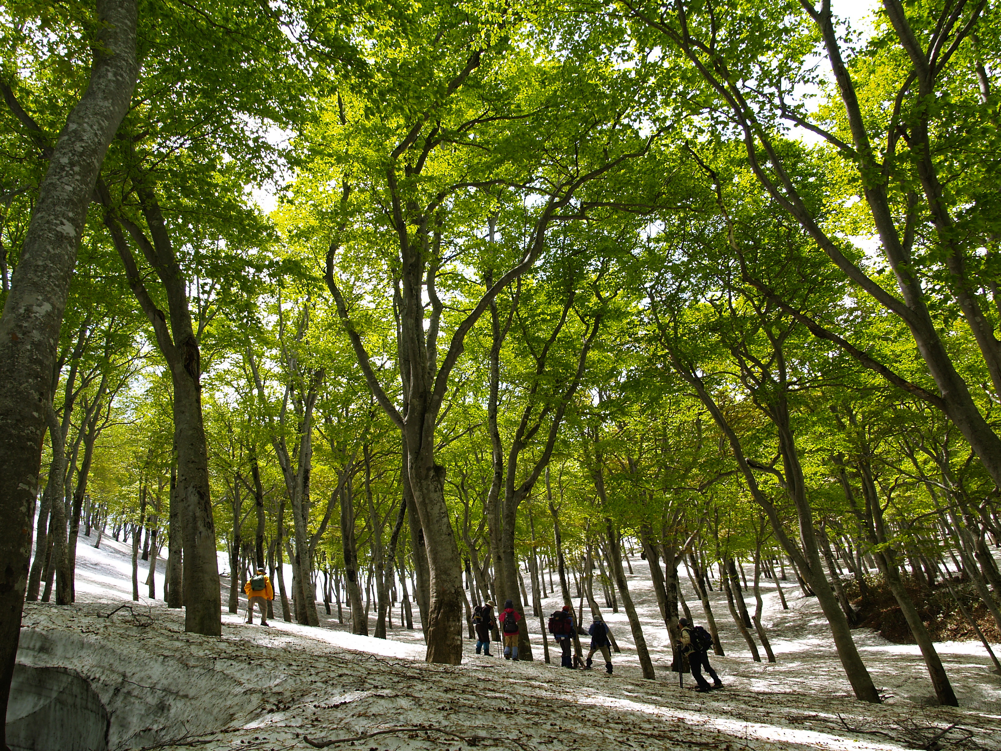
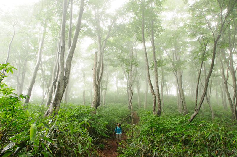
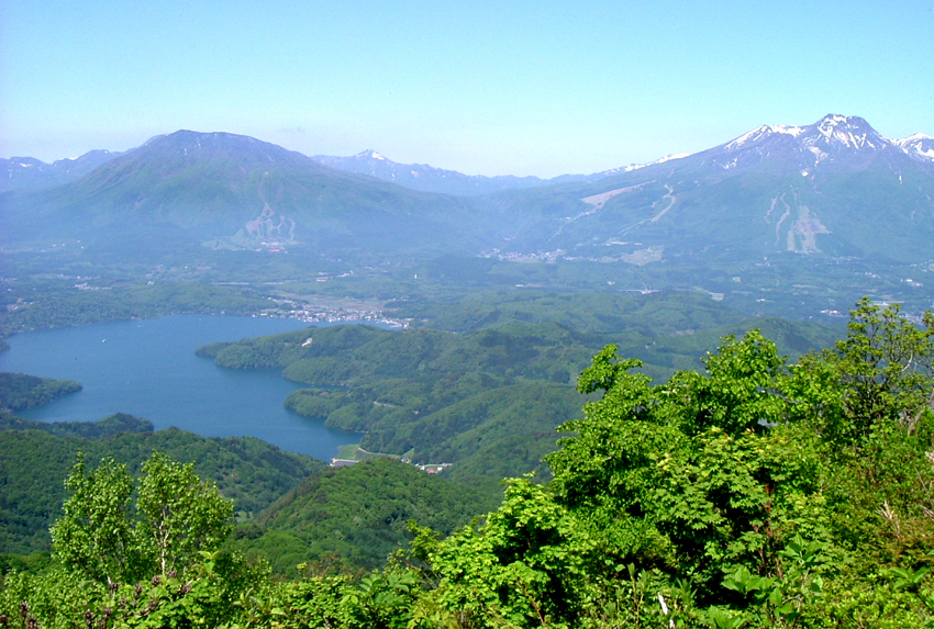
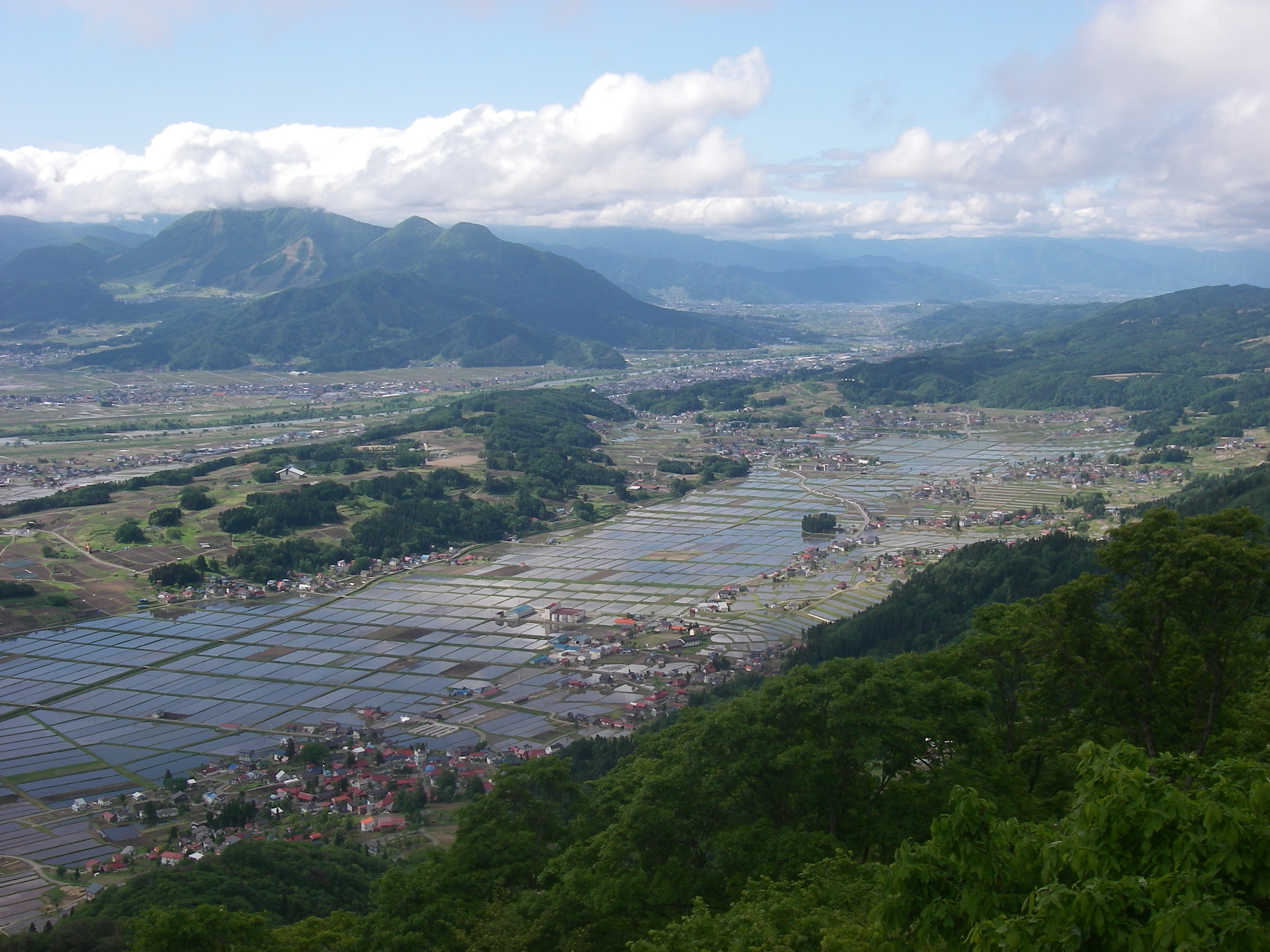
The Shinetsu Trail runs for 80 kilometers along the border between Nagano and Niigata Prefectures, following the ridge of the Sekida Mountain range. The forests are perhaps best known for their beech trees. Tall, well-shaped beech trees form a corridor of green along the path. The packed-earth trail also makes for easy walking. Spring and autumn are especially good times to visit the trail. In spring, the last traces of snow can be seen among new greenery and flowers bursting into bloom. In the fall, hikers can enjoy the brilliant colors of autumn leaves.
The trail is split into 6 sections which are usually covered in 5 to 6 days (by tent or lodging respectively), or done in day hikes section-by-section. See the official english website for details on each section, access, and more.
Trail Details:
Total Distance: 65.15km
Total Time: 38 hours
Recommended No. of Days: 6 days, 5 nights
Elevation Difference: 819m
Starting Point: Mt. Madarao
Ending Point: Mt. Amamizu
| Location | 1571-15 Teruoka, Iiyama, Nagano 389-2601, Japan Map |
|---|---|
| TEL | 0269-69-2888 |
| FAX | 0269-69-2288 |
| office@s-trail.net | |
| URL | http://www.s-trail.net/english/index.html |
| Business hours | June - Nov |
| Usage fee | Free |
Access and Parking
| Access |
Iiyama City |
|---|


