Kamikochi: The Crown Jewel of the Japanese Alps
A nature lover's paradise in Nagano. Take in the fresh air and enjoy the majestic scenery of some of Japan's tallest mountains.
Update:2020/03/27
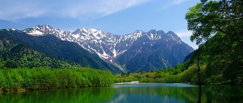
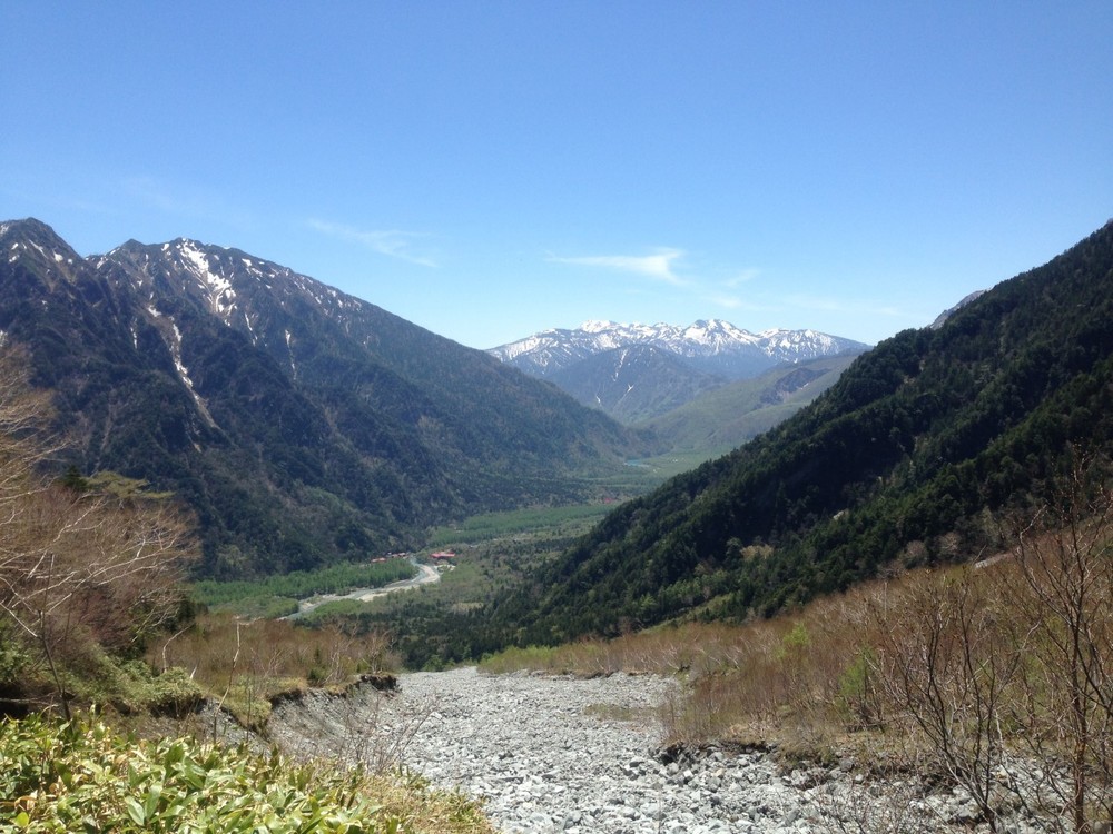
Surrounded by mountains towering over 3,000 meter heights, the emerald green forests and crystal clear rivers of Kamikochi remain largely untouched by man. The vivid colors of nature and the magnificent peaks of the Japanese Alps come together to form one of the most beautiful scenic locations in all of the country.
Nature Walks along the Azusa River Basin
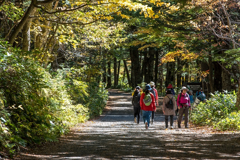
From Taisho Pond at the south of the basin all the way north to Tokusawa, Kamikochi stretches across six kilometers of marshland, river, and riparian forest. Relatively flat trails weave through the natural splendor of the basin, connecting Kamikochi’s many points of interest and mountain climbing trails.
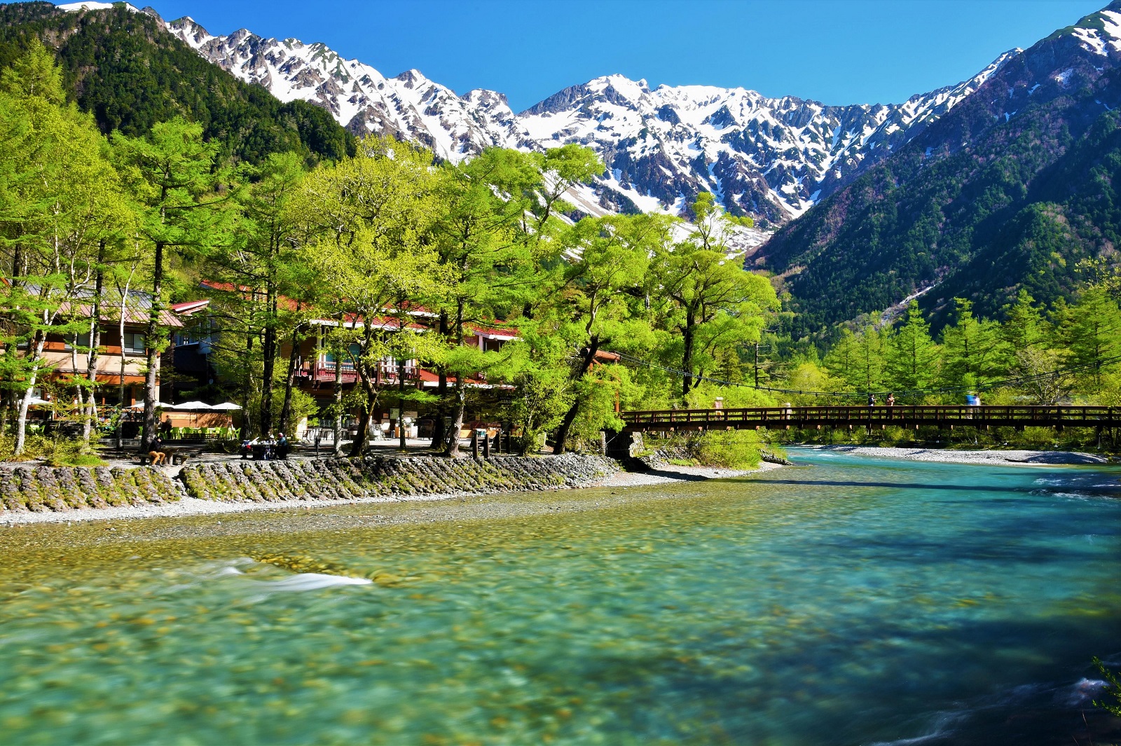
The Kamikochi bus terminal is located near the center of the basin, just a few minutes from the picturesque Kappa Bridge. Many people will be satisfied by these incredible views alone, but the park has plenty of other sights to enjoy.
Kamikochi's main points of interest include:
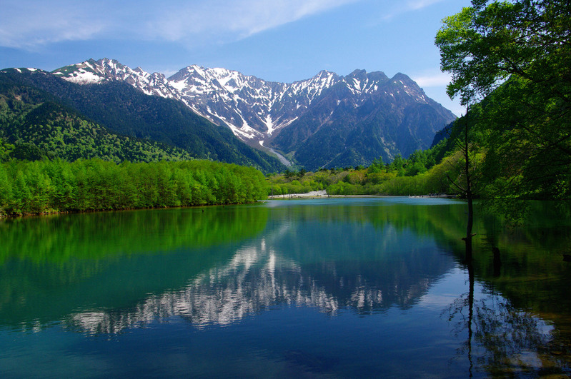
Taisho Pond
A body of water that formed when the Azusa River was dammed by the eruption of the nearby volcano, Mt. Yakedake. Barren trees stand like monoliths in the water.
Hotaka & Tashiro Bridges
A pair of suspension bridges located by the trailhead for the Mt. Nishi-Hotakadaka and Mt. Yakedake.
Teikoku (Imperial) Hotel
Opened in 1933 and considered Japan’s first mountain resort hotel. An opulent jewel in the heart of the wilderness.
Weston Monument
A tribute to Walter Weston (1861-1940), the missionary from England who introduced Japan to mountaineering as a sport, and Kamikochi to the world.
Kamikochi Bus Terminal
Your gate to the Japanese Alps (and ride home). Most of Kamikochi’s facilities are centered around here, such as its Visitor Information Center, Konashi Campground, various hotels and eateries.
Kappa Bridge
Kamikochi’s most photogenic and accessible spot. This suspension bridge has incredible views of the Hotaka mountain range and Karasawa Col, while being just a few minutes on foot from the bus terminal.
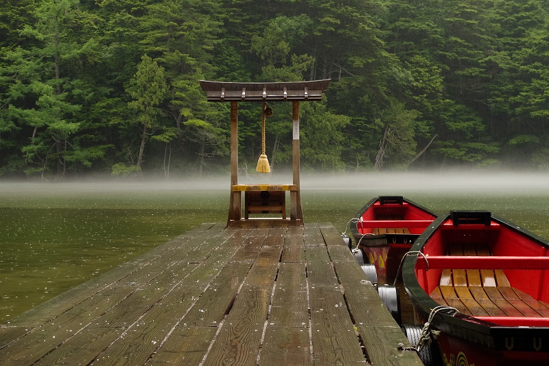
Myojin Pond
A secluded, shallow pond surrounded by pine trees, jagged rocks, and short grasses. The layout of the pond resembles an accidental Japanese garden, and it serves as a location of the Hotaka Shrine. Entrance to the pond costs 300 yen. Also, the legendary Kamonji-goya Hut at the entrance to Myojin Pond
Tokusawa Campground and Lodge
A former pasture in the late 19th and early 20th century, it is now a tranquil camping area and the trailhead for Yarigatake (Mt. Yari).
From Taisho Pond, you can see all of these sights up to Myojin Pond and return to the bus terminal in around 4 hours (a distance of around 12.5 kilometers). You can see a detailed map of Kamikochi's points of interest here.
Mountain Climbing
Kamikochi is an ideal starting point for a number of hiking trails to the peaks of the Northern Japanese Alps. Adventurous individuals can take a day hike to Kamikochi’s resident volcano, or go on multi-day traverses along the Alps’ highest summits.
Mt. Yakedake (2,455m)
An active volcano that looms over Taisho Pond. A 4-hour ascent from the Hotaka Bridge.
Mt. Chougatake (2,677m)
Mt. Chougatake has excellent views of the Japanese Alps and can be climbed from Kamikochi easily over two days. From the bus terminal, it is a 3 hour walk to the trailhead at Yoko’o, then a 3.5 hour ascent to the top and a 2.5 hour descent back to Yoko’o. The entire trail from the bus terminal and back is about 27.5 kilometers.
Mt. Nishi-Hotakadake (2,909m)
One of the smaller peaks of the Hotaka mountain range. From the Hotaka Bridge to the Nishi-Hotaka mountain hut takes 4 hours, followed by an additional 3 hours to the summit. Alternatively, from the hut you can cross over to the Shin-Hotaka Ropeway for descending to the Gifu Prefecture side.
Mt. Yari (3,180 m)
Known as the “Matterhorn of Japan” for its sharp, craggy peak, the hike is a 7 to 8 hour ascent from Tokusawa.
In addition to the campgrounds and hotels at the Kamikochi basin, there are also a series of mountain huts along the Alps. By staying and eating at the mountain huts, you can greatly reduce your pack weight for an overnight or multi-day hike. Most also have adjacent campsites for those who would rather stay outside (and save some money).
More to See in the Northern Alps
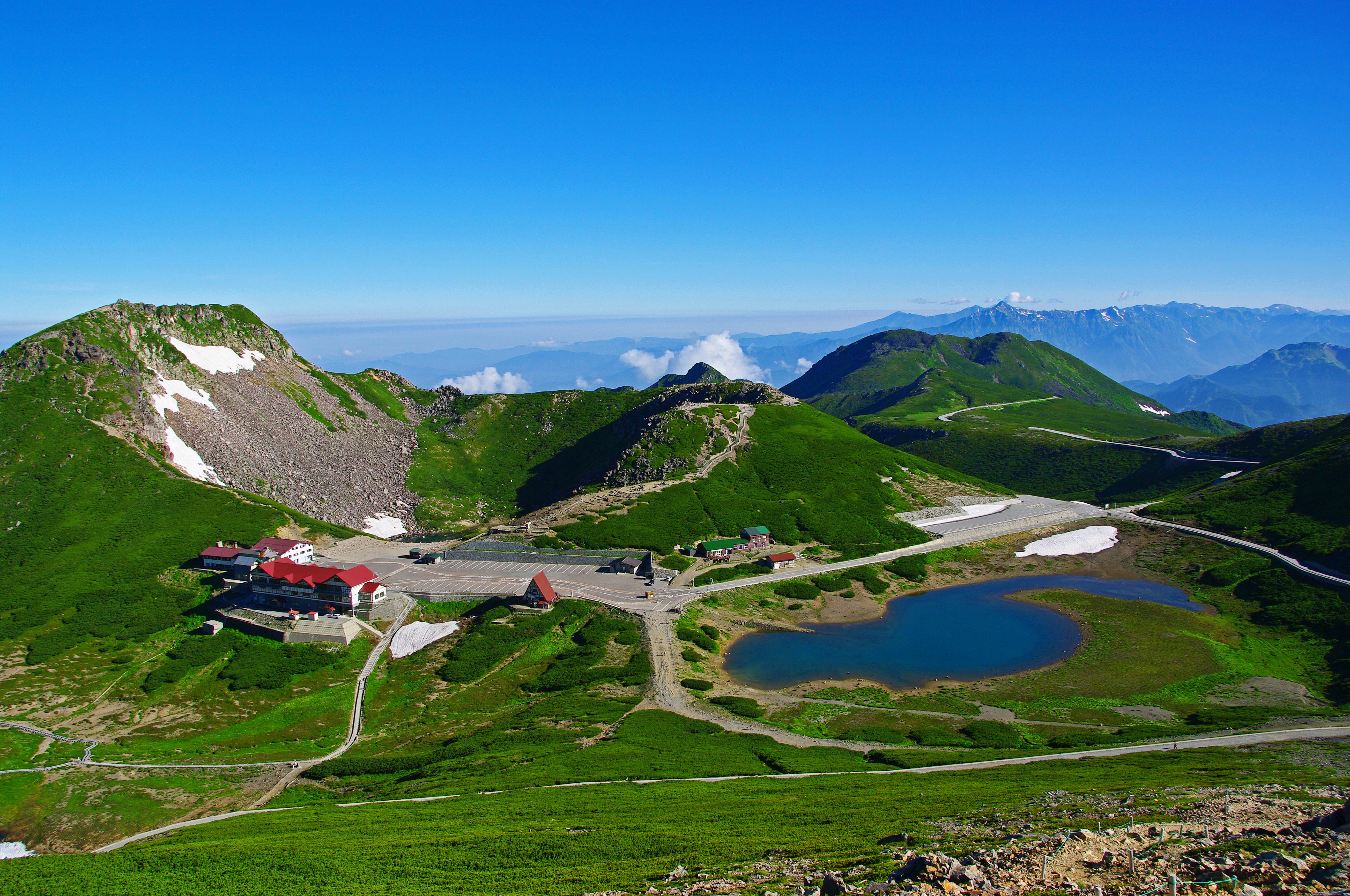
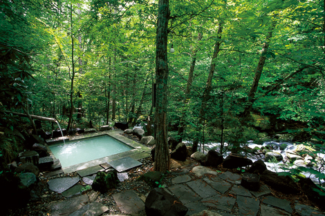
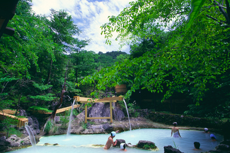
In addition to Kamikochi, there are many other places to see around the Japanese Alps. If you can’t get enough of the outdoors, consider a visit to the highlands of Norikura Kogen. At the base of Mt. Norikura (3,026m), you can go hiking or mountain biking during summer and enjoy skiing, snowshoeing, or ice climbing during the winter. Nearby is also a famous hot spring area, Shirahone Onsen, which is known for its milk-white mineral water. Both are accessible by bus from Shinshimashima Station.
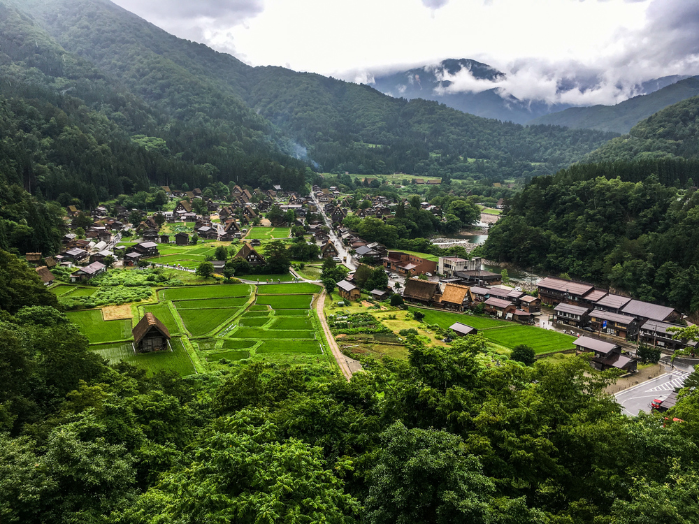
Over the border in Gifu, you can also visit the World Heritage site of Shirakawa-go and stay in the quiet mountain town of Takayama.
Things to Remember when Visiting Kamikochi
No cars allowed
Kamikochi is closed to all personal vehicles. It is only accessible by bus. If visiting by car, park at the Sawando parking area and take a bus from there.
Kamikochi is only open between April and November
Buses run to Kamikochi between mid-April and mid-November, and the park is officially open between late April to mid-November. Some facilities are not open between mid-April and late April, and no facilities are open between November and mid-April.
Kamikochi can be cold, even in summer
Due to its high altitude and plentiful shade, Kamikochi can be chilly even during summer, especially in the mornings and evenings. During spring and fall, the daily high is around 12°C while the low is near 0°C. During summer, the temperature reaches around 23°C during the day and falls as low as 10°C.
Access to Kamikochi
By Public Transportation
From Matsumoto Station, take the Kamikochi line train to its last stop at Shinshimashima Station (30 min.). From there, take the Kamikochi line bus to either the Taisho Pond or Kamikochi Bus Terminal bus stop (65 min.).
One-way train and bus fare is 2,710 yen.
By Car
Private vehicles cannot enter Kamikochi directly, so you'll have to park at the Sawando Parking Area (See in Google Maps) and take a bus from there. It's a 45-minute drive from the Matsumoto IC exit of the Nagano Expressway to the parking lot, and then about 35 minutes by bus to Kamikochi. See the Sawando-Kamikochi line bus timetable here.
Round-trip bus fare is 2,400 yen and one-way is 1,200 yen (half price for children).


